Gallery
Explore maps with their data and method
Each map lists where its data comes from and under which licence, and opens in GISOwl as it was published.
All maps
11 maps
-
Demonstration
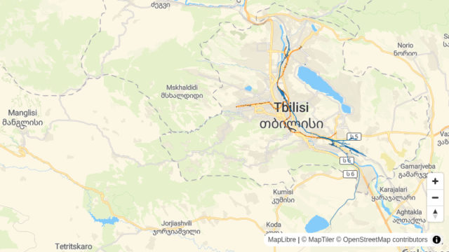
Buildings within 50 m of Tbilisi's rail and metro lines
Tbilisi, Georgia
5140 buildings within 50 m of a rail or metro line
Engineering and Infrastructure -
Lesson
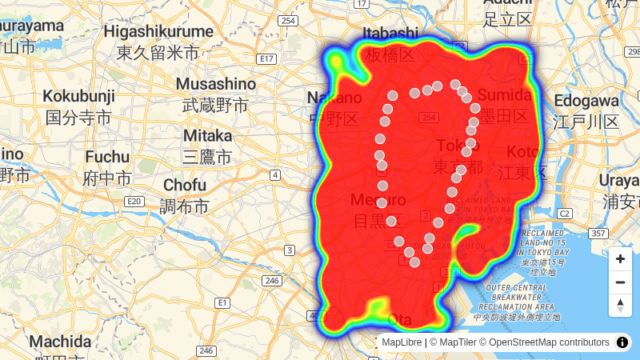
Cafés within 500 m of each Yamanote line station
Tokyo
30 Yamanote line stations, each with its cafés within 500 m
Education -
Demonstration
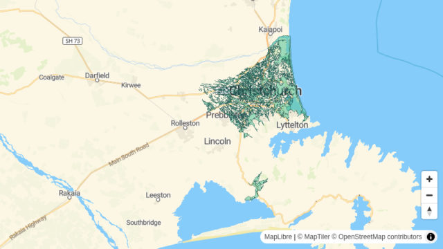
Christchurch schools near the 200-year flood extent
Christchurch, New Zealand
135 schools within 200 m of the 200-year flood extent
Cities and Government -
Demonstration
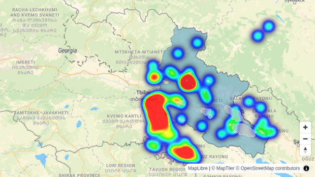
Farmland of 20 ha or more within 2 km of a substation, Kakheti
Kakheti, Georgia
49 farmland blocks of 20 ha or more within 2 km of a substation
Energy and Utilities -
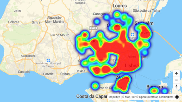
Demonstration
Lisbon homes more than 1 km from a supermarket
Lisbon
130 residential buildings more than 1 km from a supermarket
Retail -
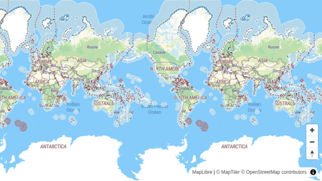
Atlas
Maritime Zones of the World
World
844 maritime zones
Climate and Natural Resources -
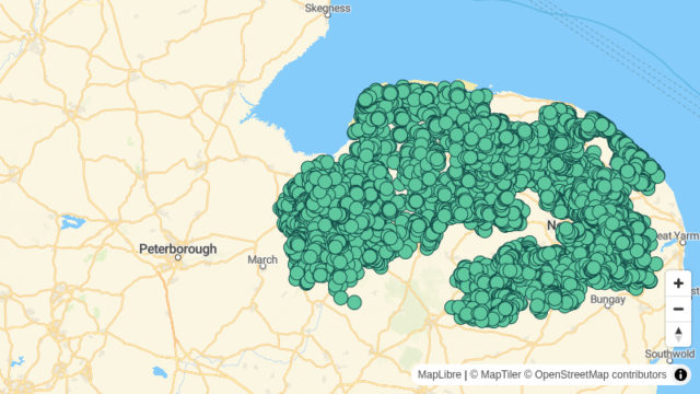
Demonstration
Postcodes in Norwich, Peterborough and Ipswich where gigabit broadband is below half
Norwich, Peterborough and Ipswich postcode areas, England
16196 postcodes below 50% gigabit availability
Telecom -
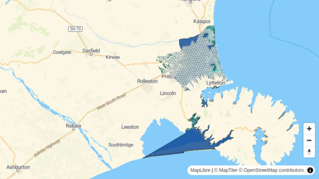
Demonstration
Rated properties inside Christchurch's 200-year flood extent
Christchurch, New Zealand
387 H3 cells holding rated properties inside the 200-year flood extent
Insurance -
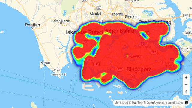
Demonstration
Singapore homes more than 400 m from a bus stop
Singapore
5516 residential buildings more than 400 m from a bus stop
Transportation -
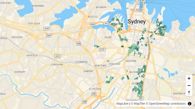
Demonstration
Where Sydney's planning control allows eight storeys or more
Sydney
880 properties where 8 storeys or more are allowed
Real Estate -
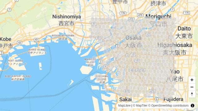
Demonstration
Where shops concentrate in Osaka, by H3 cell
Osaka
440 H3 cells with shops
Geospatial Analytics
No maps match these filters.
Make a map like these with your data
Upload a file or add a public source, then style it and publish a link anyone can open.